Showing posts with label powder. Show all posts

Monday, February 18, 2013

44.7247° N, 73.9119° W

Where: Clinton County, New York
When: February 16-17
Why: Presidents' Day Weekend
What: Troy to Plattsburgh. Plattsburgh to Chazy Highlands. Skin to the summit of Lyon Mountain and ski down. Take the ferry to VT and head to Burlington. Ferry to Plattsburgh. Back to Lyon Mountain to explore glades seen from the last descent. Drive to Lake Placid to eat and explore. Plattsburgh for the night.

Conditions? See for yourself.


Skinning up the "Old Trail".

Knee deep at the summit.


Kyle scoping out his line through the trees.

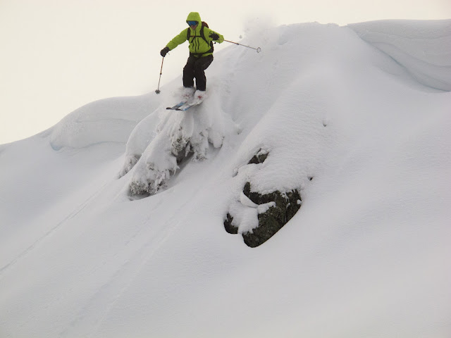
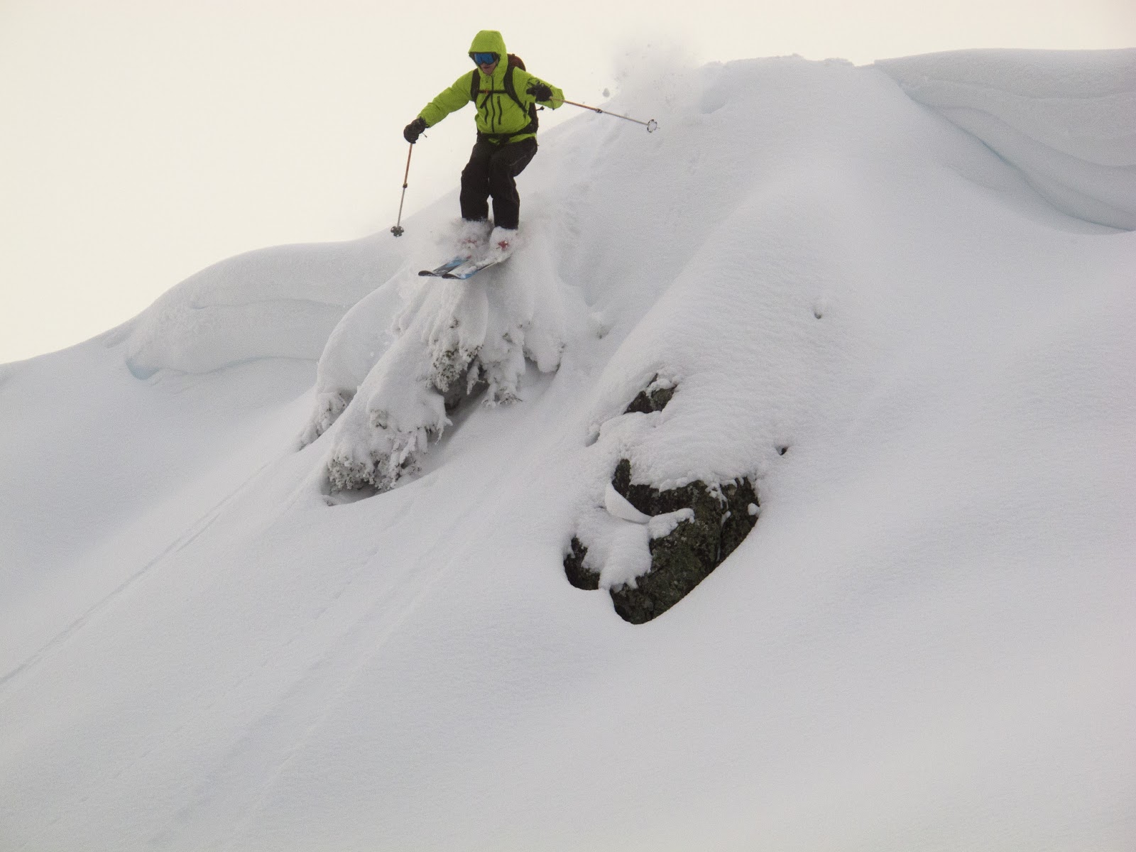
First ever cliff drop, albeit small.

Face shots!

Double dropping the pillows.


Stuck in the powder, can't complain.

Saturday, February 9, 2013

Finding Nemo

It's four in the morning.  It's illegal to drive on the roads in Massachusetts.  Good thing we are heading to Vermont.  We only pass two vehicles on the road the entire hour and a half drive from Troy to Stratton Mountain, not a huge surprise.  Arriving at the mountain, we find that the "members only" parking lot is not guarded and that the door to the lodge is open even though all the lights are off, great success.  Headlamp on, boots on, skis on, skins on; off we go.  

Untouched snow all around.
I called up Stratton last night to ask about their uphill travel and before/after hours skiing policy and there were no restrictions.  The lady on the phone did recommend a trail to skin up though.  If you know the mountain, then the trail is to the right of the gondola and goes up past the houses on the right and around to the backside of the mountain.  This is green all the way, but way long as it wraps around.  Instead of taking the long way we went up Flukey's Run and took a left on to White Birch, which connected to Lower Standard and Upper Standard under the gondola.

Skinning up under the gondola.  Luckily following snowmobile tracks part of the way up.

After about an hour and a half of skinning we were at the summit and ready to ski down.  A handful of ski patrol and medic staff skied past us, but there was still plenty of fresh powder to go around.  Only having skied once before, and not on powder, it took me a few turns to get the hang of it again.  Kyle cruised down with the goal of warming up after our cold stop to take off skins and transition to ski mode.

Powder 5" to knee deep in spots.
We weren't the only ones who figured there would be good snow today.  The lines grew and the slopes got crowded, partially thanks to the gondola never opening due to high winds.  Speaking of winds, the temperature at the summit was -25F and the base was -8F, including windchill.  This warrants a stop in the lodge to put on a couple extra layers and swap out gloves for a dry pair.


As the lines grew our patience did not.  Back to skinning to scope out a trail that only has a few tracks through it.  We make it up as high as possible before the snow was so blown that exposed roots and rocks were in the way.  It was a quick run, but some of the best snow of the day.  Time to let the quads rest up.  Skiing powder isn't easy, not that I'm complaining.


Rocks up ahead, time to ski down.


Wednesday, January 16, 2013

Whistler Select

The family took a quick four day ski trip, only two days of which were actually spent skiing. The rest of the time we were chasing storms and trying to avoid the Northwest's infamous rain. The first day was spent at White Pass. Despite its reputation as a small, easy mountain, we didn't find it to be the case. Yes, the runs are generally flat and wide open, but anyone who tells you it's not an expert mountain is either lying or they cannot ski trees and cliffs. to either side of the main lift are steep, densely treed areas which we found to be chock full of unskied powder. Midway through this section is a 15'-30' high cliff band, with few notches. A little creativity was needed to get through the band (hitting the cliffs is particularly risky due to the densely treed landings), but there are occasional chutes that can be down-climbed (or straight-lined if you're particularly brave). No useable pictures were taken this day.
The next two days were spent driving and resting in Whistler Village, an opportunity I have never previously been fortunate enough to have. We got up at 4:00 to be near the front of the line for Fresh Tracks tickets. Arriving at the Whistler Gondola at 5:10 A.M., we were 6th, 7th, and 8th in line.
Next a two and a half our wait.

The enormous line at 7:00 A.M.

Soon we were at the lodge up high on the mountain, shovelling in food as fast as possible. Fifteen minutes before the lines were set to drop we were standing outside, skis on and ready to go. When they released us, my brother skated ahead of everyone, getting first tracks at Whistler on a day with 50cm new snow. Not bad...until we skied the snow. It was deep, very deep, but also very heavy. We did laps on the flatter lift until Harmony Chair was opened.


The father skiing below the cliff band on near Harmony Chair.

Eyeing a narrow (5' wide) chute in the cliff band between Low Roll and Kaleidoscope from Harmony, we went to check it out. Finding the entrance from above, when it's hard to tell if you are standing on a cornice, a cliff, or just a really steep roll, is difficult, but after a little guesswork, we found the top. It had been bombed as was pretty hard, but skiable. It'd have to be a straightline to the wide bowl beneath.

Turning above the rock band while contemplating the large drop to the bowl below.

This run was pushing my abilities, I'll admit, but I had a plan. Turn down until on top of the rock band, jump off the 4' drop, make it down the chute and then carve a nice slash in the broad powder slope below. Making it to the top of the rock band was easy enough, and I knew that once I dropped in it would all happen quickly.

Dropping into the chute

The drop went well and I was on my feet. Having raced for quite some time, I have a good feel for speed. Thirty and forty mph passed before I setup for the turn. 

Dropping in for the turn at 45 mph.

That smooth powder slope turned out to be wind blow crust and at 45mph I was not breaking through. Anticipating soft snow I was in the back seat. Half a second later I was falling.

Mid fall and traveling fast.

I washed out completely, snow filling my jacket and my arms flailing. Right in front of the lift. I was fortunate enough that the fall ended without a yard sale and as my speed decreased, I rolled over to my feet, snow sifting out of my goggles and helmet. If you're not falling, you're not trying hard enough.
We skied Harmony until it was skied out and then moved to Symphony. The snow was still thick. At the end of the day, we headed up to the peak. One of my favorite runs on Whistler is The Couloir because of its challenging entry and easy, but great skiing, due to the fact that many people can't handle the entrance.

Signs at the beginning of the run. A little hyperbolic, perhaps.
The view from the top. Can you spot the two skiers?
The cornice drop for the very brave from the entrance. To the right is a very large cliff.
Standing at the entrance, a hidden ramp extends skier's left. The size of the cornice/cliff is more evident in this photo.
Midway down the chute in fresh powder.

Once through the entrance I spotted one other track. Either the snow had drifted in many tracks, or I was the second person to ski it that busy day. The powder was nearly untouched save for the avalanche line coming from the blasting location. A great end to the trip.

Thursday, January 3, 2013

Etna Pass Backcountry Ski and Other Misc. Skiing


Shortly after Christmas the family drove to Scott Valley in Northern California to visit relatives and to ski. We left at 5 A.M., driving the familiar stretch of I-5 through the Willamette Valley in the dark. After a quick breakfast in Ashland, OR, we started the 3000' climb over Siskiyou Summit. The road was so slippery that very little breaking was possible without chains and so the driving was slow.
Siskiyou Summit on I-5. CA/OR border.
Passing through the small ex-mining town of Yreka (the name means White Mountain) in an ice fog, we turned west, climbing up California 3, over the Anderson Grade, the site of a locally famous stagecoach robbery.

Anderson Grade on California State Route 3.
Soon after descending into Scott Valley we came to the sleepy western town of Fort Jones. The snow was still falling and we eagerly anticipated the skiing to come.

Main St, Fort Jones, CA.
That night we skinned up a cell tower access road to a small building on top of the hill. The snow deepened and lightened as we approached the crest.
The distant lights of Fort Jones partially illuminate the night sky as we skin to the top of the hill.


The next morning we enjoyed a short, but pleasant ski to the car. Soon thereafter, we headed for Etna Pass (5,990').
The cold waters of the Scott River cut through Scott Valley, CA.
Christopher Coppock contemplating the view west from Etna Pass, CA.
Chains we required, but we elected to leave them off, a gamble that paid off. We reached the pass at the very late hour of noon. We changed and packed quickly. Heading north up the PCST, we found a old skin track to guide us through the woods. A quick 30 minute skin brought us to the first peak, about 400 feet higher than the pass.
The route we skinned is solid and the lines we skied are dashed. Etna pass is located at the picture icon.

Lichen in stark contrast to the bright white of the snow.
We reached the top and then kept moving out the ridge, aiming for an open area with feet of fresh snow. After deskinning, tightening the straps and testing the beacons, I headed off. At first I was a little hesitant, not wanting to impact the slope too much, but soon I felt more comfortable, arcing turns and popping off little rolls. My brother and father skied next, laying down beautiful tracks as they went. The powder was at least knee high.We ended in a creek drainage with massive, deadly creek holes. Unfortunately there were no photos. We skinned steeply out of the drainage to a partially open ridge, the kick-turns too many to count.
Skinning up the ridge.

The view upwards.

Hoar crystals formed everywhere.

Nearing the top for the second time.
We quickly deskinned and packed up once more, this time aiming for some small (8-10') cliff bands.
Standing in the snow. 'Nuff said.
Looking down at the drops with Etna Pass and the car in the distance.
Chris slaying the pow.


Tree Skiing.
 After skiing the trees, we soon found ourselves back at the road. My brother is recovering from mono, so he decided to stay at the car and my father and I went up for a sunset run.
 

Reaching the top, we took our time. The hollow golden glow of a winter sun illuminated the ridges. Dropping off the east side once again into cold, light powder, the alpenglow framed the ridge-top trees.
Some drops go well...
And some do not. This is the "my face is way too cold" expression.
Sunset from Etna Pass.
The "Sherman Tank" ('98 Suburban) descending from the pass.

After staying in Yreka for the night, we made our way over the Cascades on our way to Bachelor.
Mt. Shasta (14,179') rises from the valley. Hwy 97, CA.
Highway 97 climbs and the road became covered with compacted, washboard ice. Everyone was driving slowly so we spent most of the time in the fast lane. South of Chemult, we saw this:

Across the oncoming lane and over the guardrail with a pickup and trailer. Totaled.
We were surprisingly tired after skiing two days previously. The runs at bachelor were rough. Poorly sliced powder moguls. We did make first tracks (for the day) down the chutes.
The 5 minute walk from the top of the lift brings us to the summit of Mt. Bachelor (9,068')
Although Bachelor is certainly not my favorite resort due to the lack of steep runs, the views are impressive.
In order of nearest to furthest. On the left: South Sister, Middle Sister, North Sister. Middle: Three Fingered Jack. Right: Broken Top, Mt. Jefferson, Mt. Hood.
Etna pass was much better than Bachelor, even though hiking was involved. It is definitely worth checking out if you are in the area. Summer hikes along that section of The Trail are also nice.