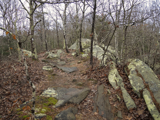
Don't let the name confuse you. Mount Tom has an elevation of only 400' an the surrounding area is at 200', there is minimal vertical gain/loss along the entire ~4.2 mile trail. The trailhead and parking area is off of Rt. 165 on Mt. Tom Road.
I've been here twice before to climb at a short cliff about 10 minutes down the trail with an employee from the local rock gym and with Cam. The trail up to this point is very rocky and slippery in the wet conditions from rain over the past couple of days. Trekking poles saved me from slipping a couple of times.
 |
| Short cliffs for bouldering and climbing. Trees accessible for TRing but it is also leadable. |
 |
| Rock, moss, moisture. |
The sound of cars broke the silence of the trail about 35 minutes out from the car. I spotted another white blaze across the road and waited for a break in traffic to make my way across.
The trail narrowed out on this side of the road and paralleled private property on the left side. There were no cliffs or boulders along this part of the trail. The ground transitioned from being muddy and leaf-covered to being covered in sand. Water must have been running down the trail pretty fast during the recent rain because you could still see the sand buildups around roots and rocks.
 |
| Stone wall marking the private property boundary. |
My watch timer hit the one hour point just as I reached the dirt road, which is also the start/end of Mt. Tom Trail. All of the other trails from this road had different names and I did not feel like making this more than a two hour hike. Another waypoint was marked on the GPS unit and I turned back to the sandy trail.
After crossing the main road I spotted some more rock and decided to check it out and see if there was any worthwhile climbing to come back for. There were a few chalk marks on the rock, which wouldn't warrant any more than one or two crash pads. After checking on MountainProject, it seems like this is Roadside Wall.


No comments:
Post a Comment